In Turkana County, Kenya, Resurgence delivers work under the WAHAFA programme since 2025, led by Welthungerhilfe in partnership with the DARAJA initiative. This work focuses on strengthening community resilience to climate shocks by improving access to timely, relevant, and inclusive early warning information.
Credit: Welthungerhilfe


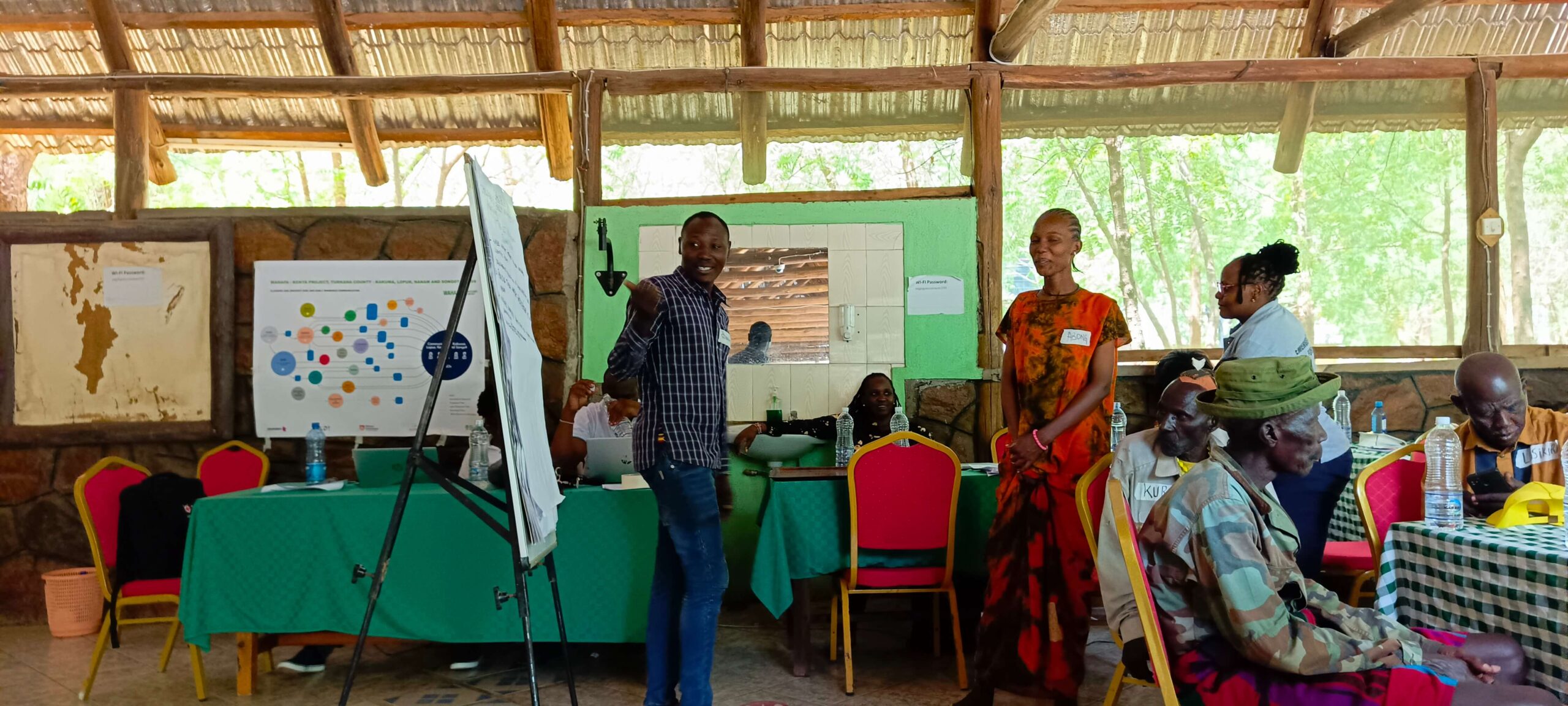


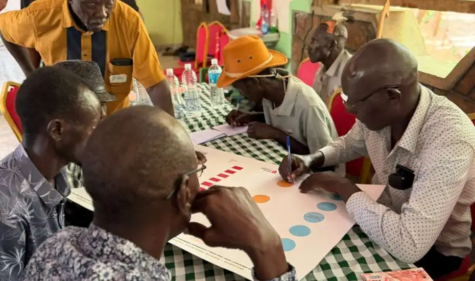
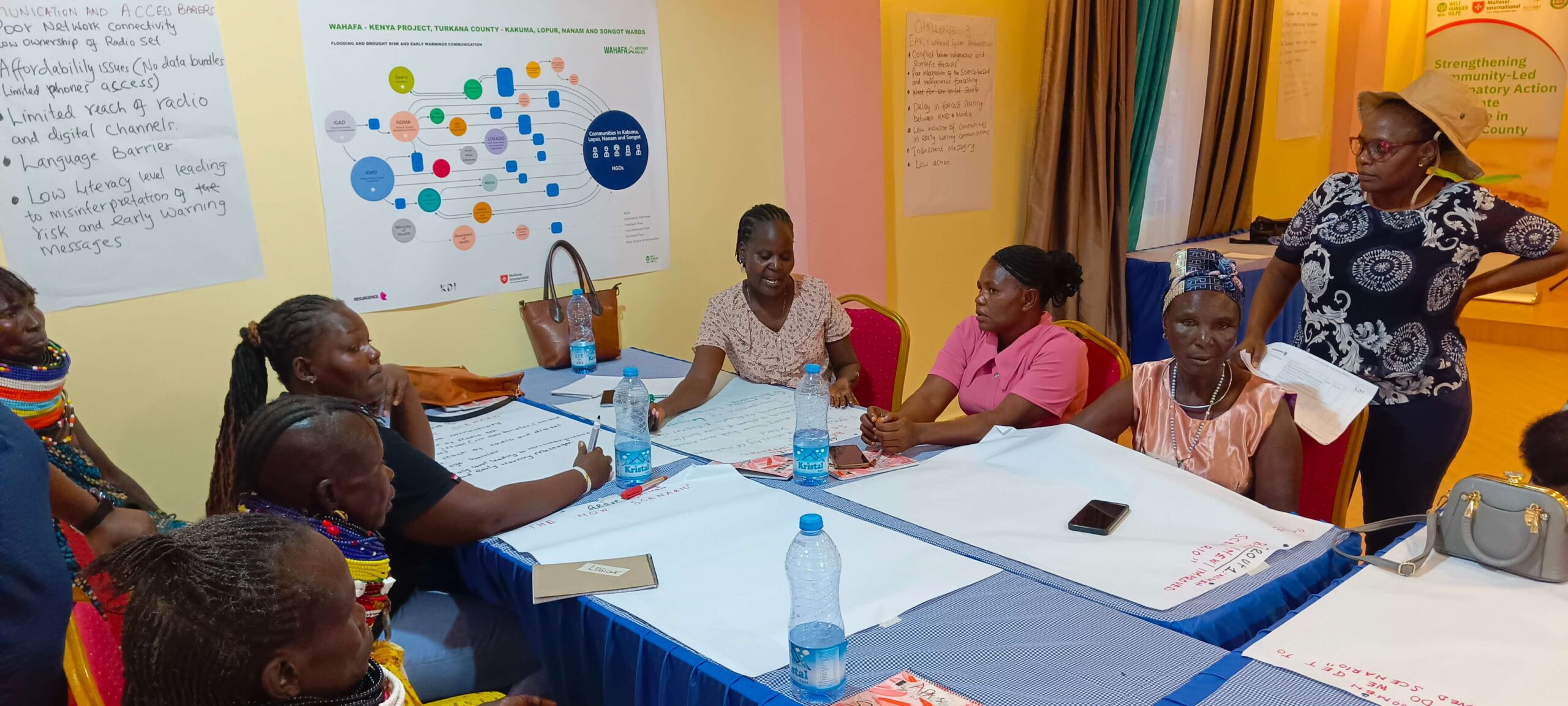
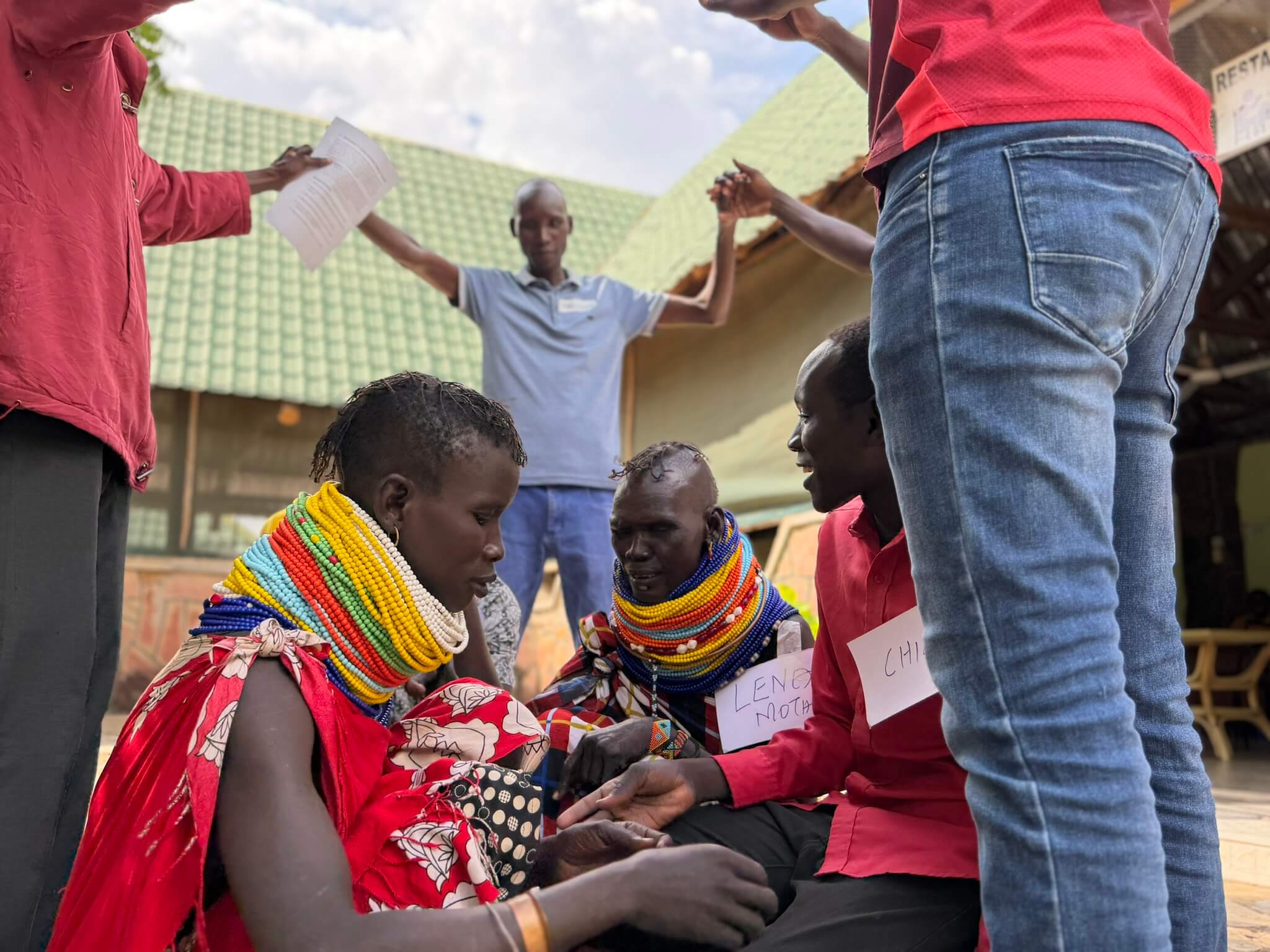

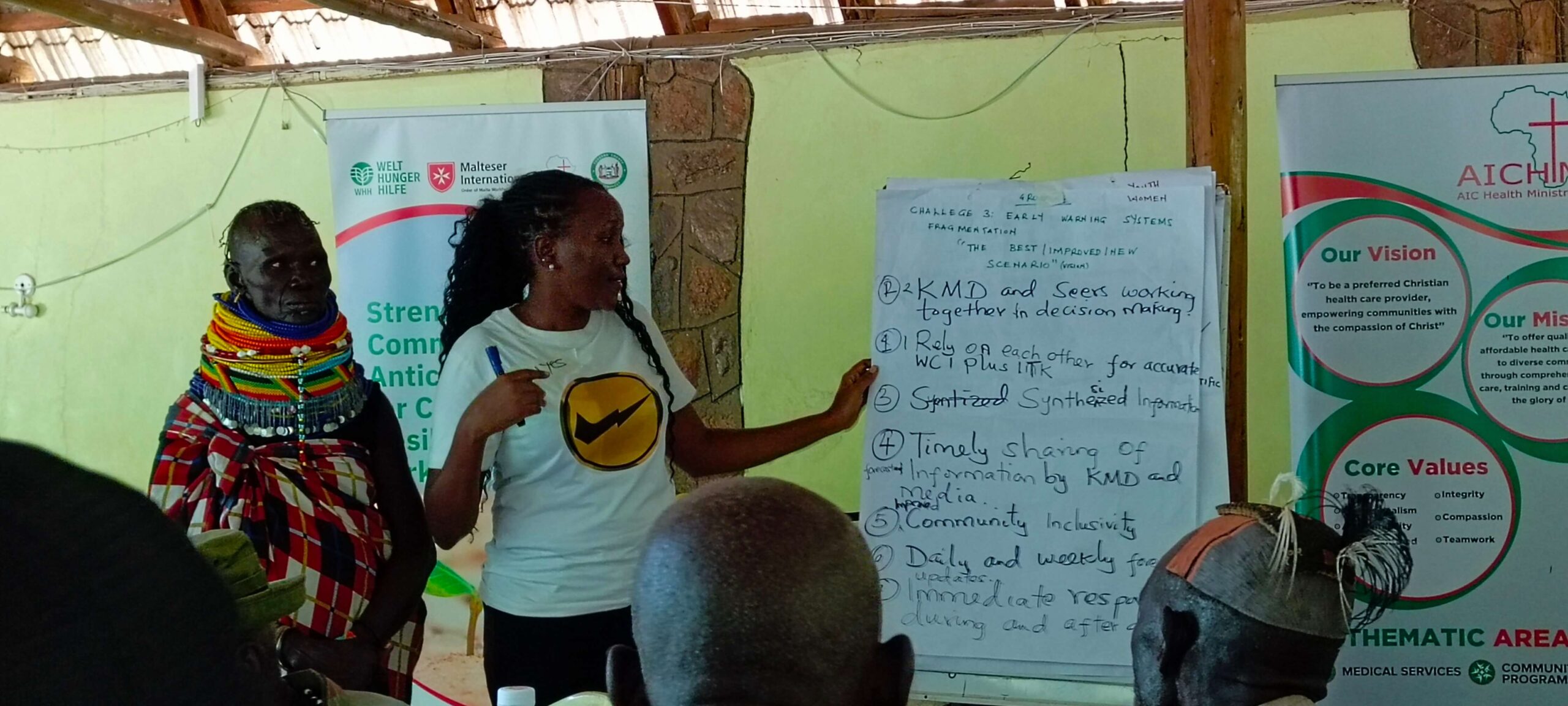
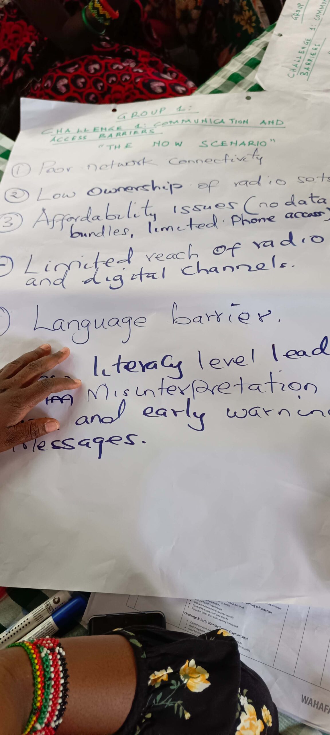
Through the DARAJA project’s participatory Information Ecosystem Mapping approach, Resurgence, working closely with DARAJA partner Kounkuey Design Initiative (KDI), supports communities and institutions to map how climate and early warning information flows.
This process identifies critical gaps, highlights who is reached and who is excluded, and helps co-design more effective and inclusive communication systems ahead of climate shocks. The programme is implemented alongside WAHAFA partners Malteser International and AIC Health Ministries, ensuring locally grounded and coordinated action across Turkana County.
Our Impact in Turkana County
We use a combination of quantitative data and community insight to understand what is working and where systems can improve.
View Information Ecosystem Mapping
What is Information Ecosystem Mapping (IEM)?
DARAJA Information Ecosystem Mapping (IEM) and feedback loops:DARAJA uses its proprietary Information Ecosystem Mapping to understand how climate information flows within communities and to continuously improve service delivery. IEM examines who produces and consumes information, what channels are trusted, and what barriers exist, ensuring climate services reach marginalised groups who often rely on informal or non-digital sources.Our IEM process involves:
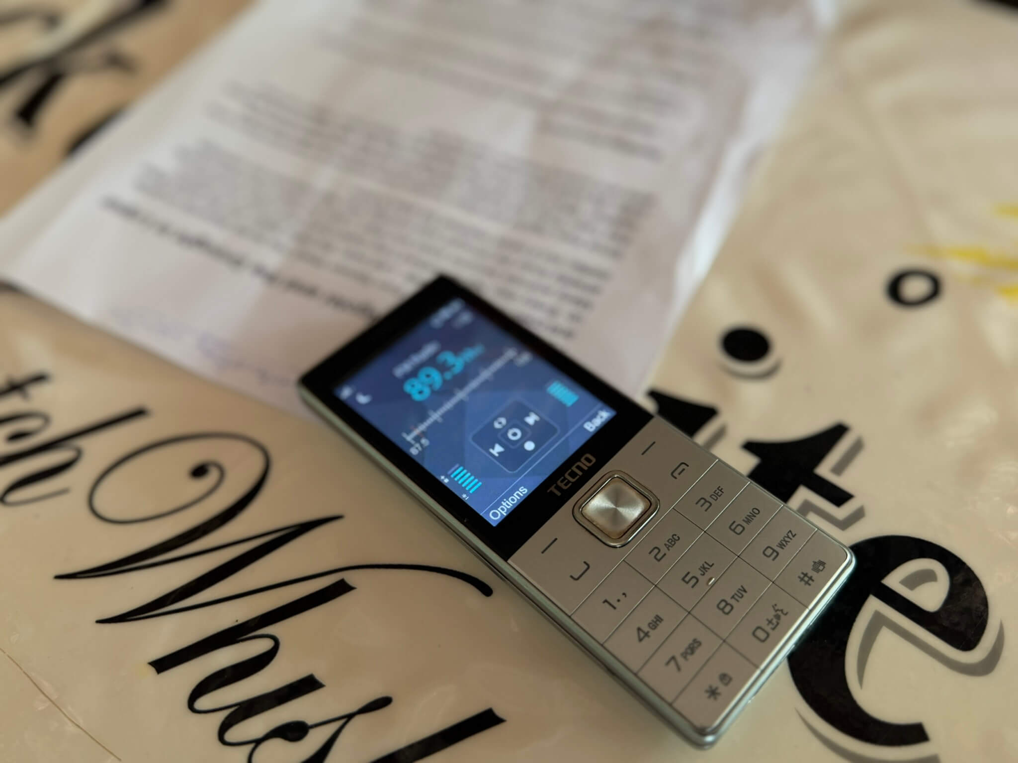
- Mapping information flows: Identifying trusted intermediaries (e.g., community leaders, radio stations), preferred channels (e.g., WhatsApp, face-to-face communication), and communication bottlenecks
- Analysing trust networks: Understanding which sources communities trust and why
- Identifying gaps: Recognising who is excluded and what channels are underutilised
- Creating visual diagrams: Showing relationships between meteorological agencies, media outlets, community networks, and end-users
- Validating findings: With communities, adapting strategies over time that respects cultural and linguistic diversity
Updates
Latest articles, video, news, and thought leadership from this region.
Early Warnings That Go Unheard
Early Warnings That Go Unheard
Welthungerhilfe: Early Warnings That Go Unheard
Welthungerhilfe: Early Warnings That Go Unheard
Thank you to our implementation partners for the photography. Any queries please contact dilupa@resurgence.io.
