We transform climate data into life protecting action.

“DARAJA provides a unique service that allows those most vulnerable to climate impacts to protect themselves and their homes. It has made forecasting intelligible and opened a channel for different stakeholders and community members to improve their living situation in informal settlements.”
David Ireland
Chief Executive, World Habitat

“Team DARAJA one of the final four winning finalists chosen: AI for EW4All Innovation Challenge. A generative AI-powered early warning service tailored for Sudan, piloting inclusive communication tools that bridge information gaps in emergencies.”
ITU and partners from AI Sub-group
Early Warnings For All initiative (2025)

“The innovative use of radio and SMS under DARAJA is a great example of the climate adaptation and resilience that the UK Presidency is putting front and centre.”
Alok Sharma, President of the 26th
United Nations Conference on Climate Change (COP26)

“Many congratulations to the team behind this exceptional project. I hope this model of collaboration inspires others not just in Africa, but around the world.”
Emma Wade-Smith OBE, Her Majesty’s Trade Commissioner for Africa
British Expertise International Awards (2020)
Locally led. Evidence-based. Globally scaled.
Resurgence works with cities, meteorological agencies, and communities to turn complex weather and climate information into practical decisions that protect lives and livelihoods. Our mission is to empower one billion vulnerable people worldwide with the knowledge and tools they need to respond to climate risk.


Our Solutions
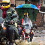
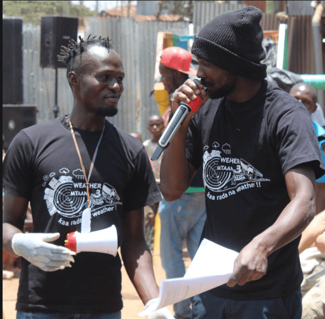
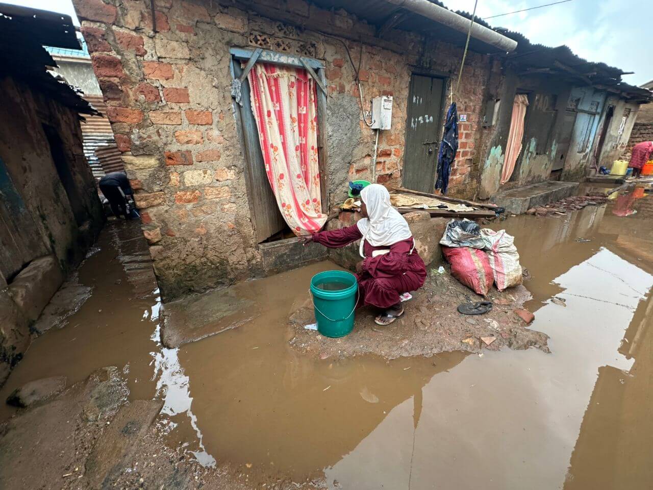
Every day, millions of people face floods, droughts, and storms without the forecasts or early warnings that could save their lives. Not because weather forecasts and warnings don’t exist, but because they never arrive in a form that reaches them, speaks their language, or earns their trust. Resurgence works with partners across the Global South to close that gap.


Resurgence Around the World
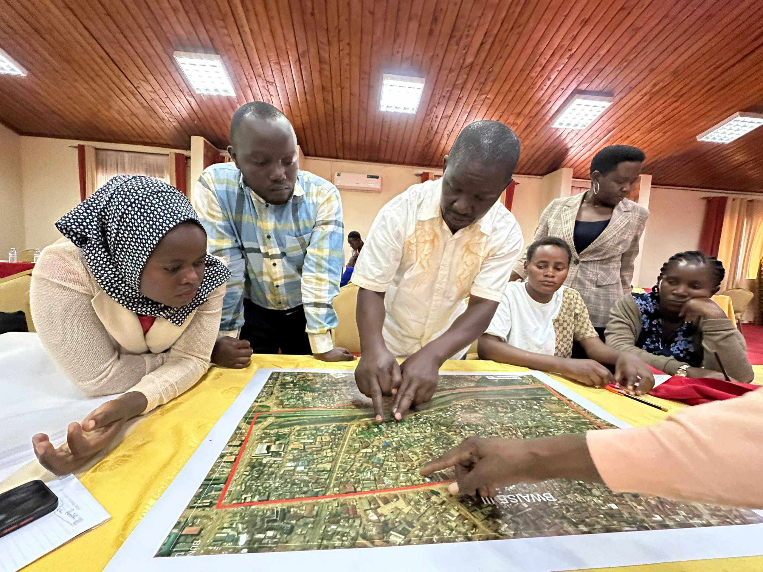
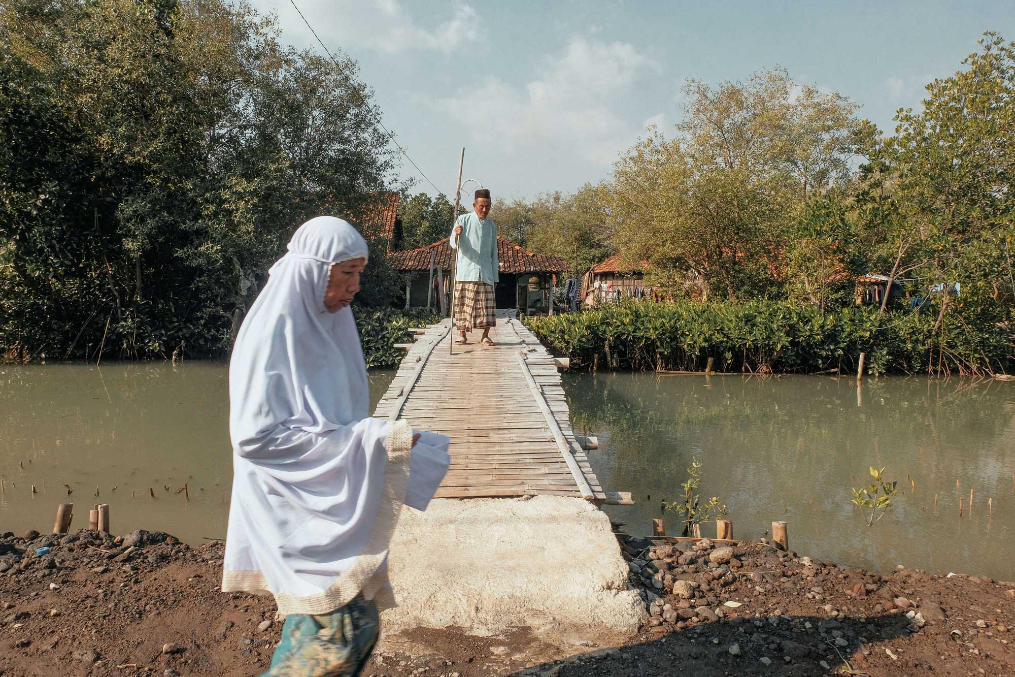
Resurgence works with cities, meteorological agencies, and community partners across the Global South to turn climate and weather data into practical systems that protect lives. From inclusive early warning services to climate resilience planning, our projects help communities prepare for floods, droughts, heatwaves, and other climate shocks.
Our Impact
From climate data to real-world resilience for communities, cities, and the organisations that support them.
12
m+
people served
People reached via DARAJA, in climate stressed cities and conflict zones.
8
+
countries
Delivering climate resilience programmes and early warning services.

Turning data into decisions
We help organisations transform complex climate and weather data into clear insights that inform real-world action.

Climate Resilience
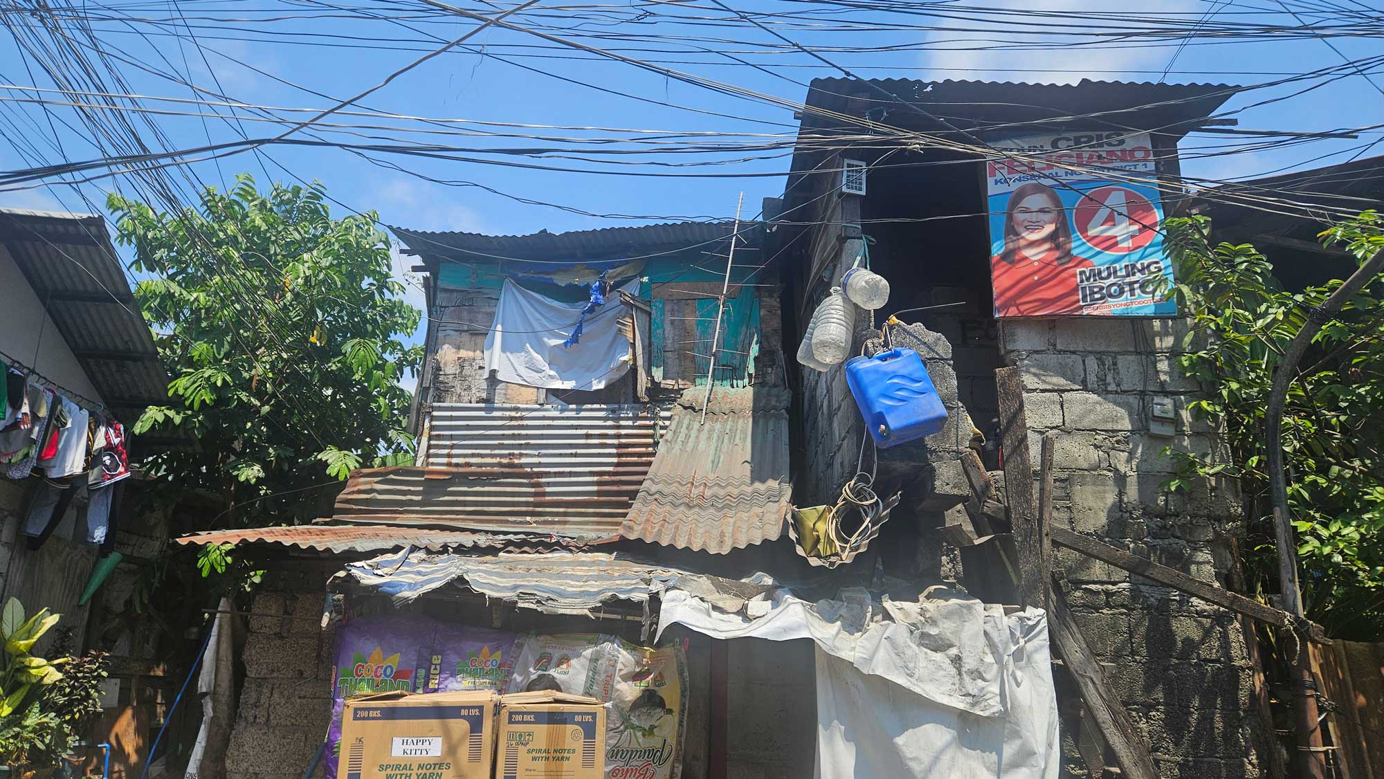
We work where climate risk is highest and institutional capacity is lowest, such as in conflict zones, informal settlements, small island development states, and cities on the frontline of extreme weather.

Scaling impact globally
By developing scalable models and open frameworks, our solutions help governments and partners expand climate resilience programmes across regions and countries.
Updates
Latest articles, news, and thought leadership from Resurgence and partners.
REAP – AI for Good Summit 2026: Advancing Early Warning and Early Action Through Responsible AI and Strong Partnerships
REAP – AI for Good Summit 2026: Advancing Early Warning and Early Action Through Responsible AI and Strong Partnerships
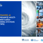
Leveraging AI to Enhance Multi-Hazard Early Warning Systems (P.87 DARAJA+AI) ITU, UNDRR, WMO and IFRC
Leveraging AI to Enhance Multi-Hazard Early Warning Systems (P.87 DARAJA+AI) ITU, UNDRR, WMO and IFRC

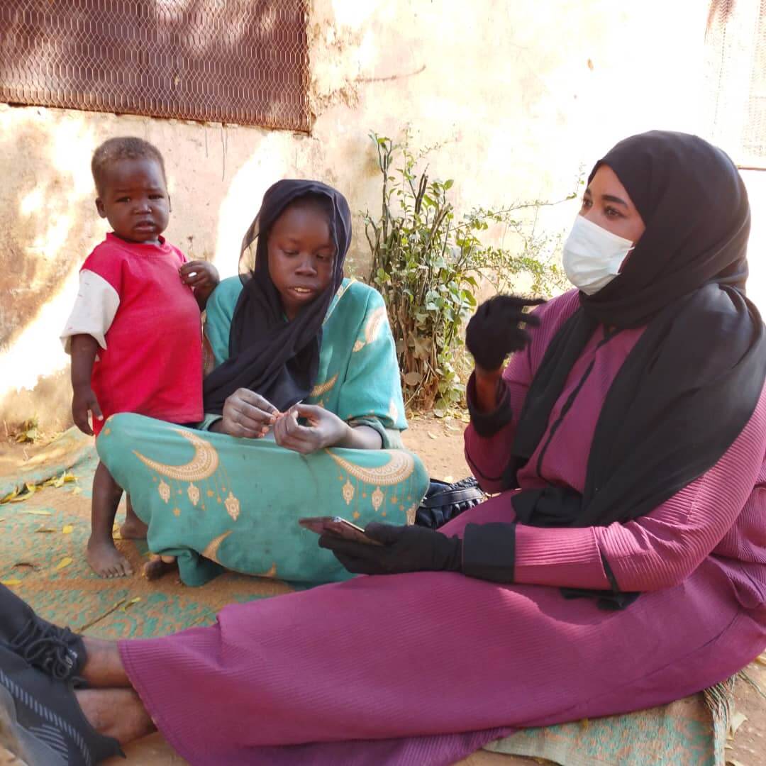
DARAJA + AI for Sudan Case Study: ITU AI Solutions Catalogue for Early Warning Systems
DARAJA + AI for Sudan Case Study: ITU AI Solutions Catalogue for Early Warning Systems
Forecasting Through War
Forecasting Through War

How a pioneering African film captured a community’s climate resilience
How a pioneering African film captured a community’s climate resilience
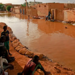
A network of tents in Khartoum’s urban island: community flood management in action
A network of tents in Khartoum’s urban island: community flood management in action
DARAJA: Development of locally accurate weather forecasts
DARAJA: Development of locally accurate weather forecasts
A case of mythbusting and opportunity: the weather and COVID-19
A case of mythbusting and opportunity: the weather and COVID-19

Creating a shared platform for forecasters, community, media and city governments
Creating a shared platform for forecasters, community, media and city governments
Helping national forecasters gain critical insights
Helping national forecasters gain critical insights

Forging a common understanding: Q & A with Vera Bukachi
Forging a common understanding: Q & A with Vera Bukachi

Elevating resilience through open innovation: a Caribbean perspective
Elevating resilience through open innovation: a Caribbean perspective

Defining and Looking Beyond Weather and Climate Information Services (WCIS) for residents of informal settlements
Defining and Looking Beyond Weather and Climate Information Services (WCIS) for residents of informal settlements
Theory of Change
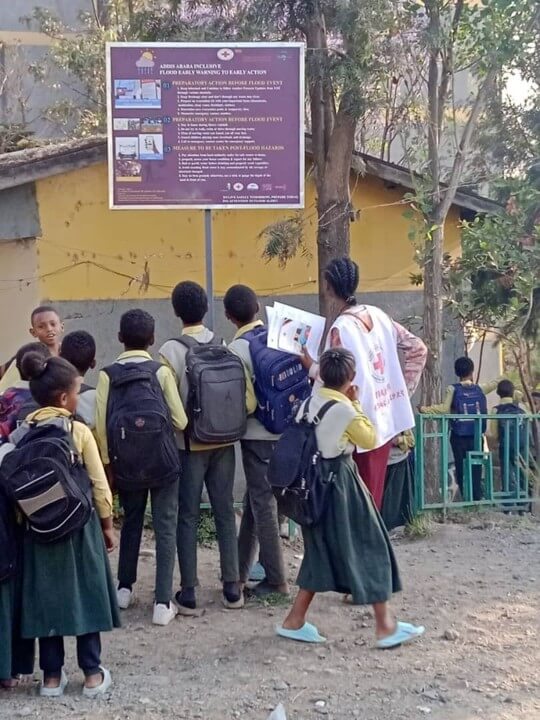
DARAJA transforms weather forecasts into trusted early warning services so that vulnerable communities can take early action before floods, extreme heat, storms, and other climate disasters strike — building the systems, institutions, and local capacity that make protection last.
Why DARAJA Works
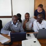
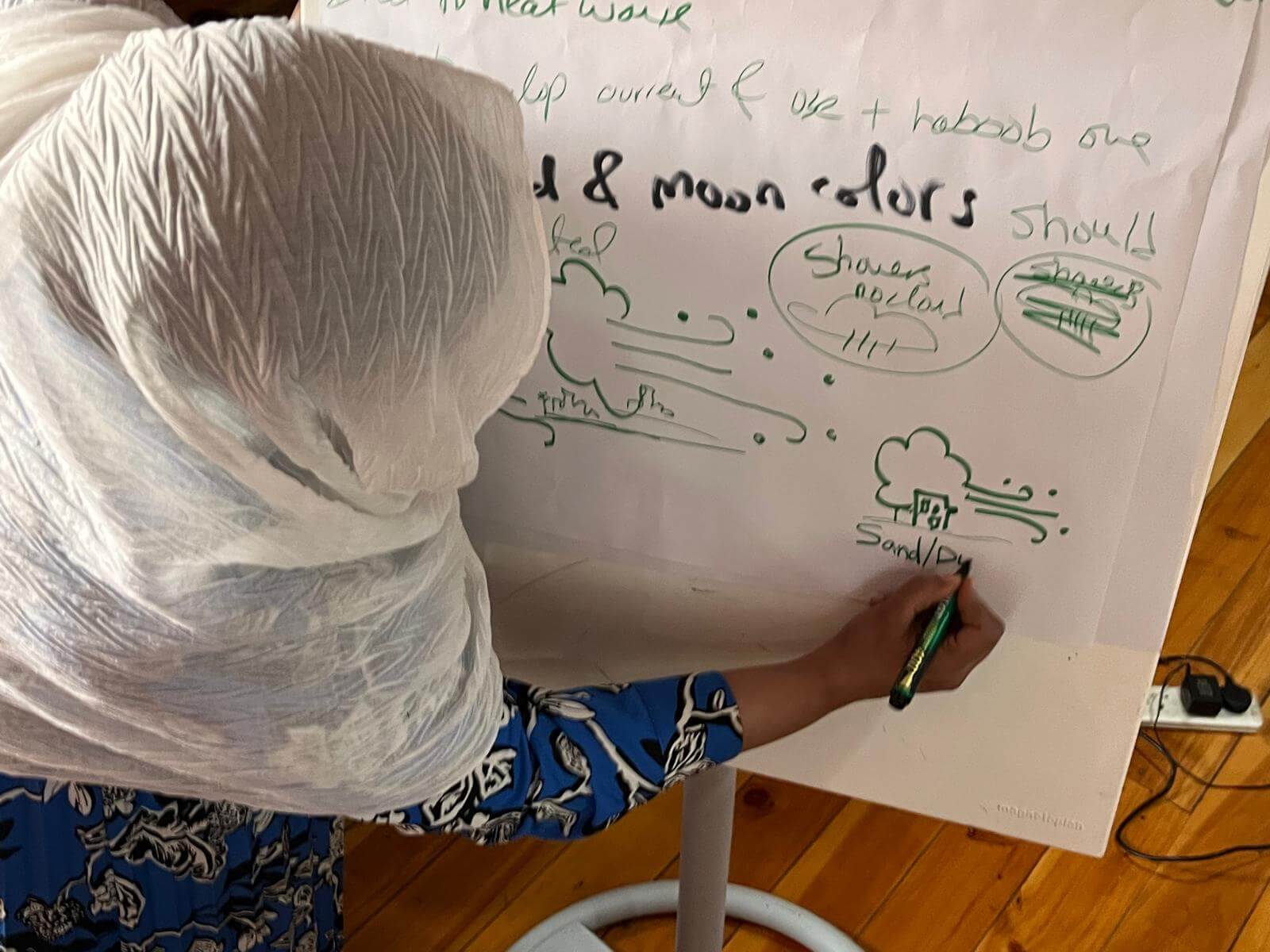
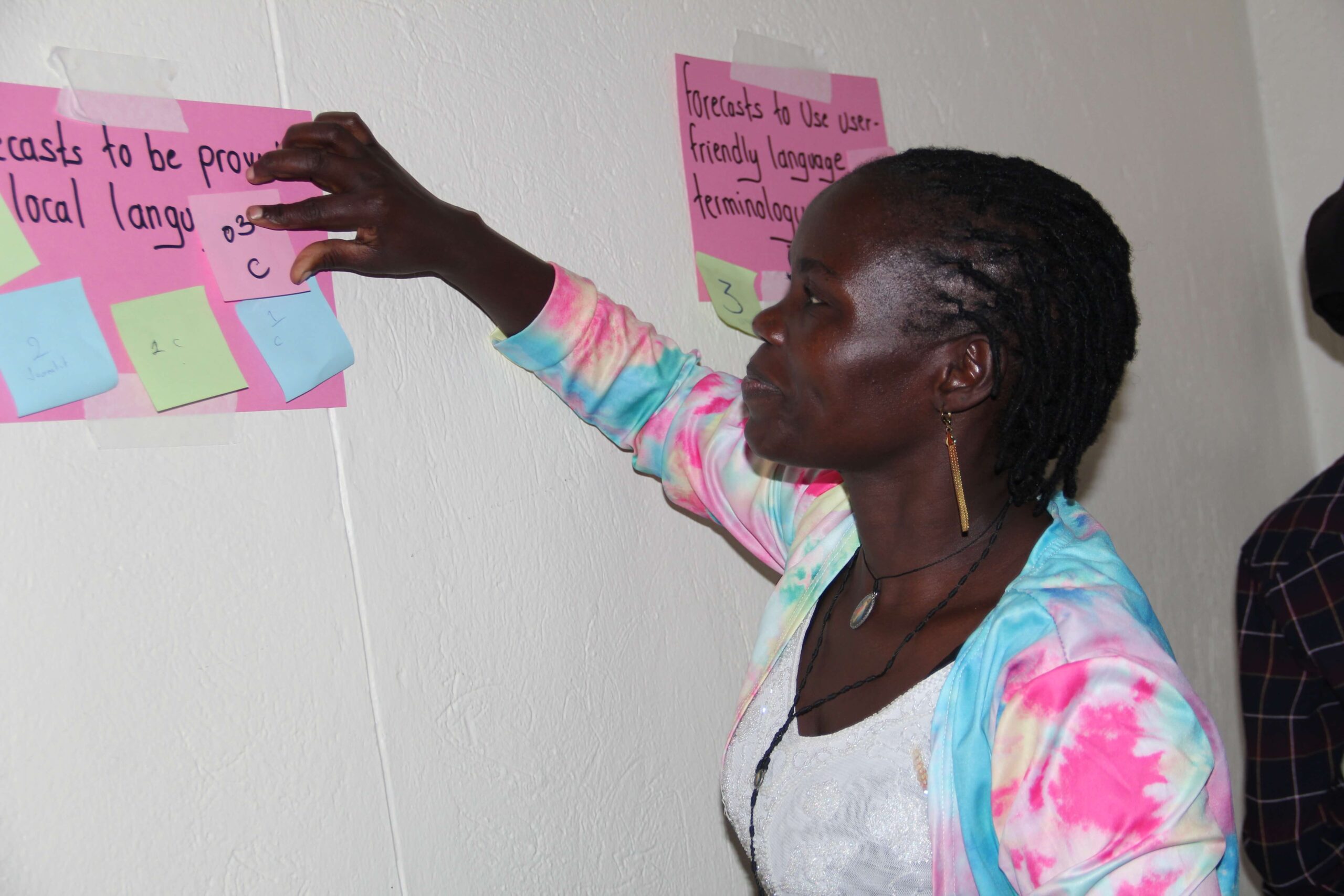
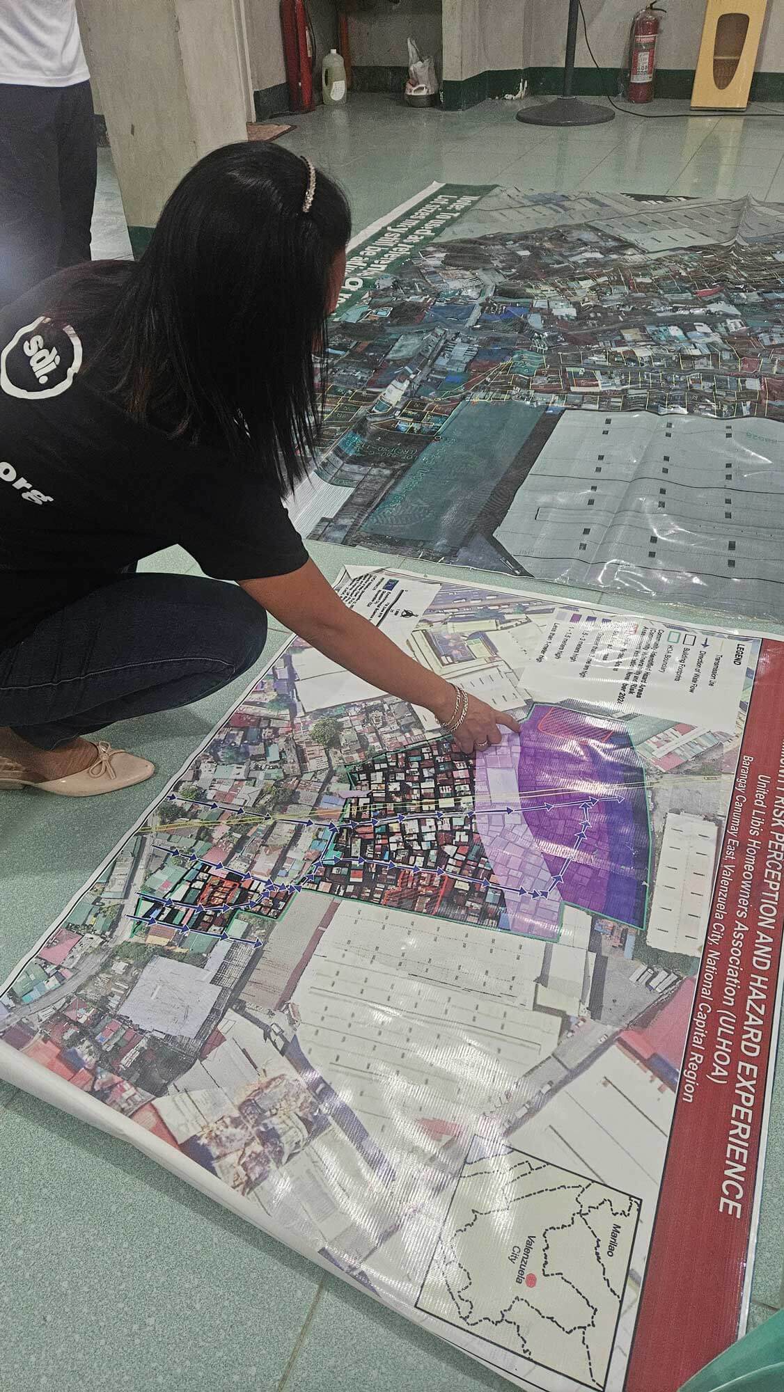
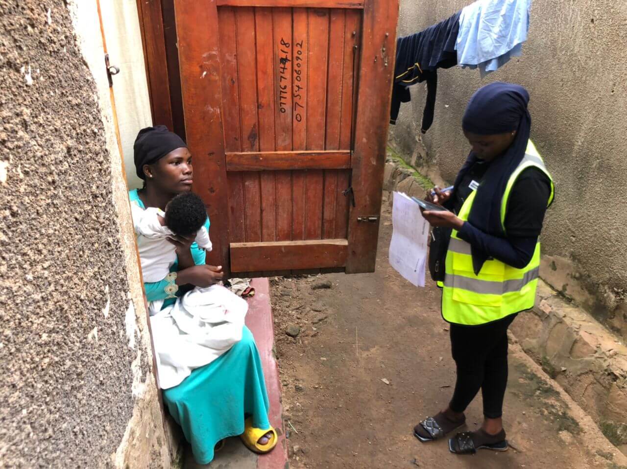
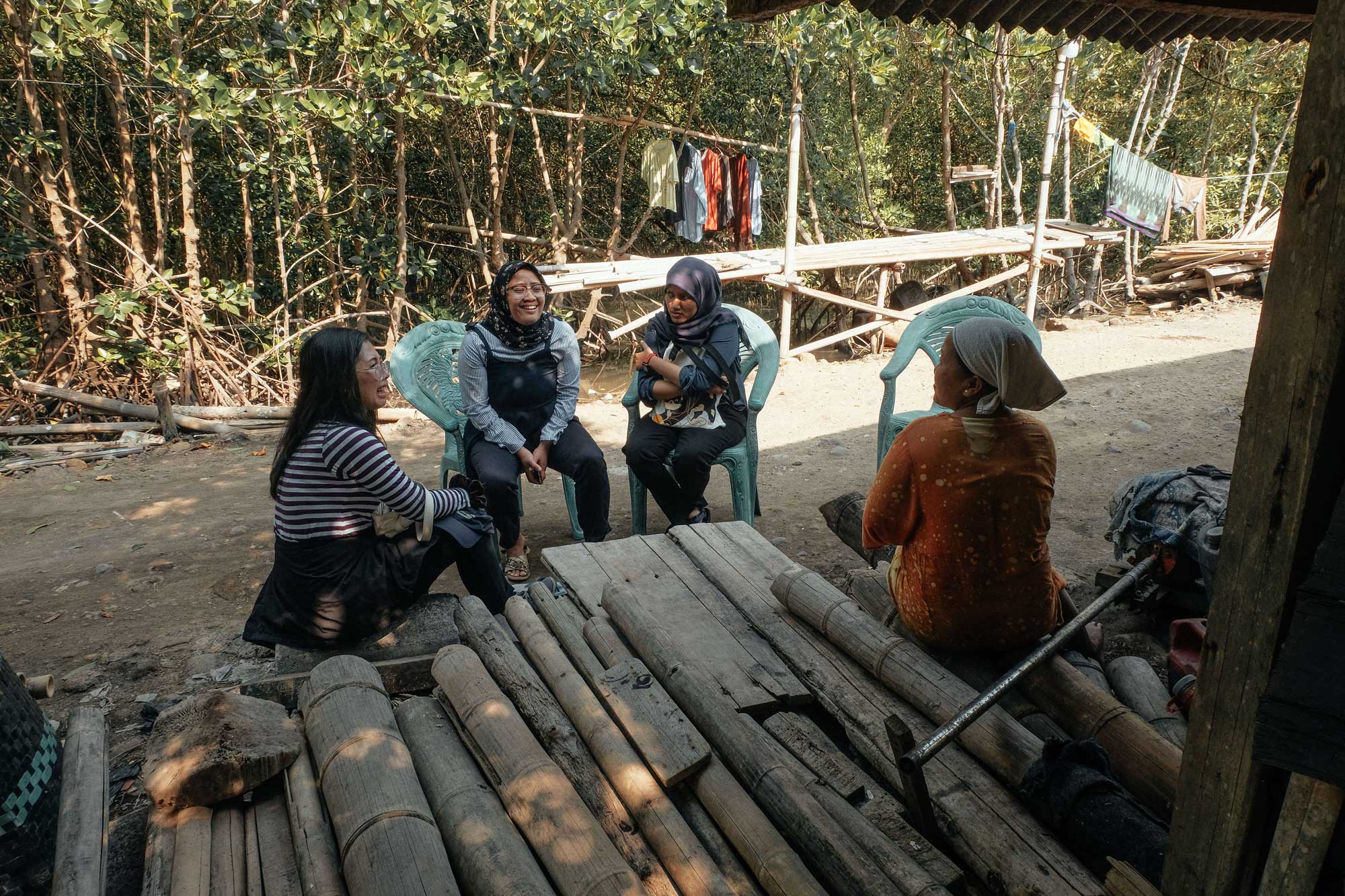
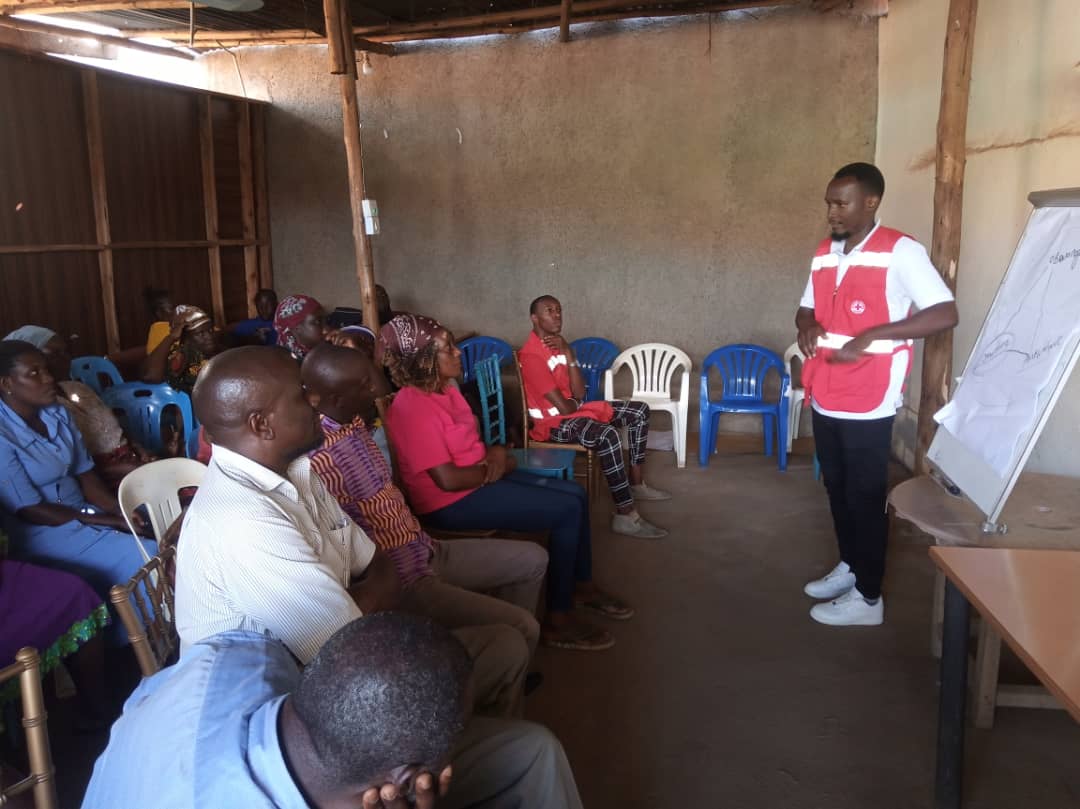
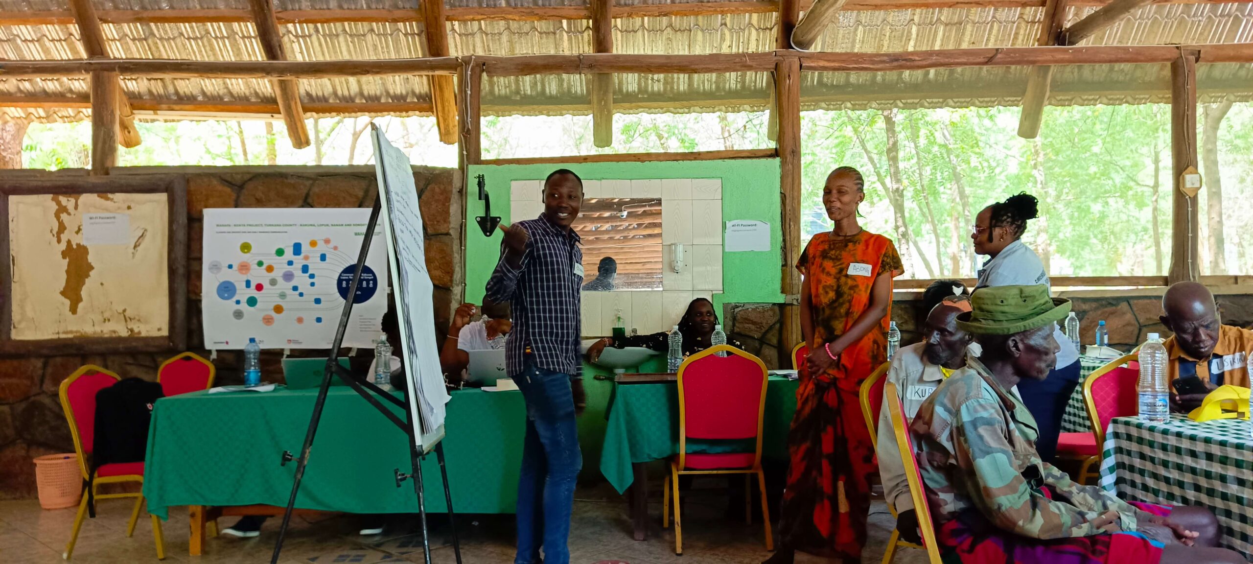
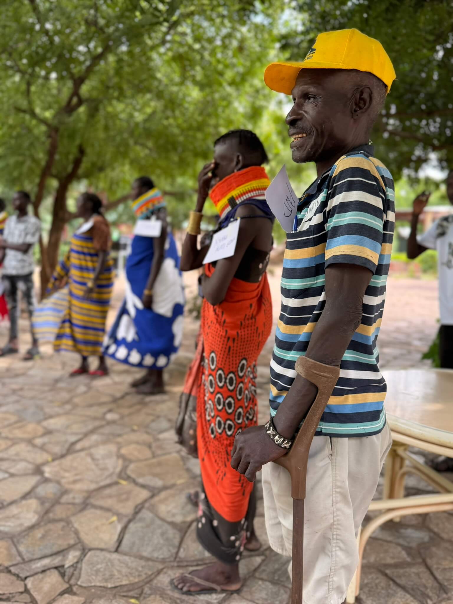
Co-designs inclusive early warning systems grounded in primary research – including focus groups, key informant interviews, and quantitative and qualitative surveys – into how communities access, understand, and use weather and climate information
Deploys responsible AI and proven community communication tools to ensure warnings reach everyone, including the two billion people without smartphones or reliable internet
Delivers climate intelligence where extreme weather risk is highest and capacity is lowest: fragile and conflict-affected states, rapidly growing cities, Small Island Developing States, and pastoralist areas
Builds operational early warning systems, not short-term projects
Process

Extreme weather events increasing in frequency and severity
Vulnerable Communities Lack Actionable Early Warnings
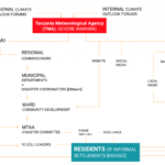
DARAJA connects weather agencies, local authorities, and community networks
Forecasts transformed into trusted early warning services
Communities take early action and reduce climate risk

Awards & Recognition
Our work designing inclusive early warning systems has been recognised by leading international organisations across the climate, technology, and development sectors. These awards highlight the impact of the DARAJA model, which connects climate science with communities most vulnerable to extreme weather.


About Resurgence
Resurgence is a social enterprise working at the intersection of climate science, urban resilience, and community engagement. We partner with meteorological agencies, city authorities, and global development organisations to design systems that transform climate data into life-saving action.
Our work focuses on co-producing inclusive early warning systems and resilience strategies that ensure vulnerable communities can anticipate and respond to climate threats. By combining scientific expertise with local knowledge, we help build solutions that are both evidence-based and locally led.
Help scale climate resilience where it is needed most
Partner with us to expand early warning systems and protect communities facing climate risk.
